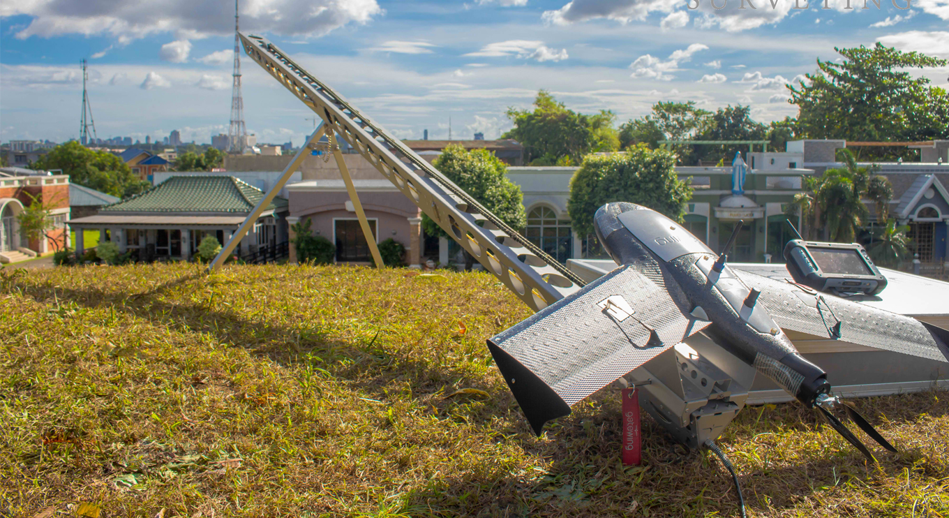

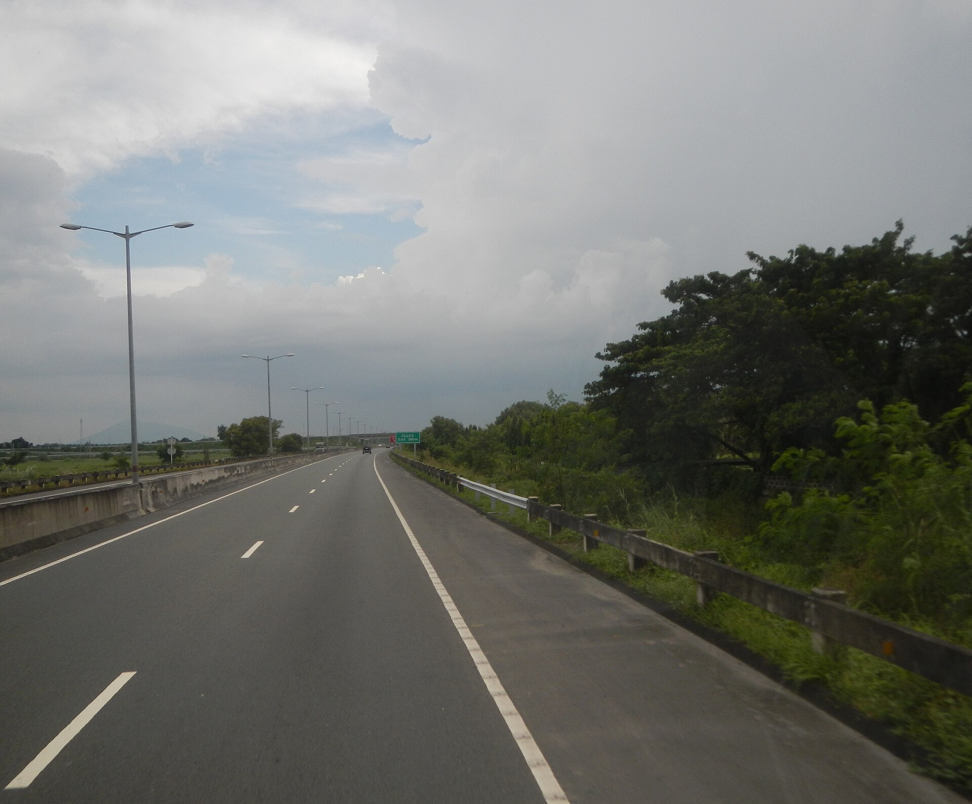
Road / corridor01 / 03Build the route on a shared ground truth.
Corridor topography, alignment and aerial data for one of the Philippines' defining mobility projects.

RASA connects land, marine, construction and aerial survey into one defensible ground-data system, so the people building the country can move with confidence.
Supergeo
Hi-Target
RIEGL
Tell us what is at stake and the page gives you a more useful starting point than a generic service list.
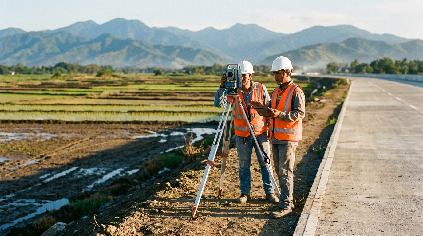
For roads, bridges, transmission lines and other long corridors, RASA brings route, control and as-built information into one project language.


The strongest RASA story is not a catalogue of instruments. It is the chain from brief, to method, to field control, to a deliverable another engineer can defend.
Instrument, datum and expected tolerance are agreed before the crew mobilises.
Control is established, captured and checked against the conditions on the ground.
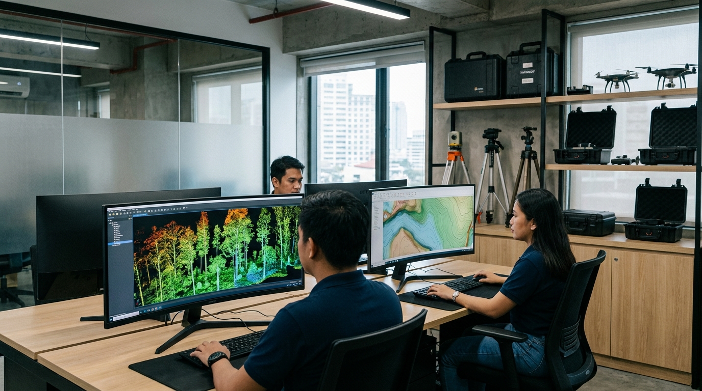
Plans, models and reports arrive as a coordinated package, with the principal's accountability visible.
Use the cards below as the beginning of a real case-study library. Each one is structured around the question a procurement or engineering team actually asks.
Road / corridor01 / 03Corridor topography, alignment and aerial data for one of the Philippines' defining mobility projects.
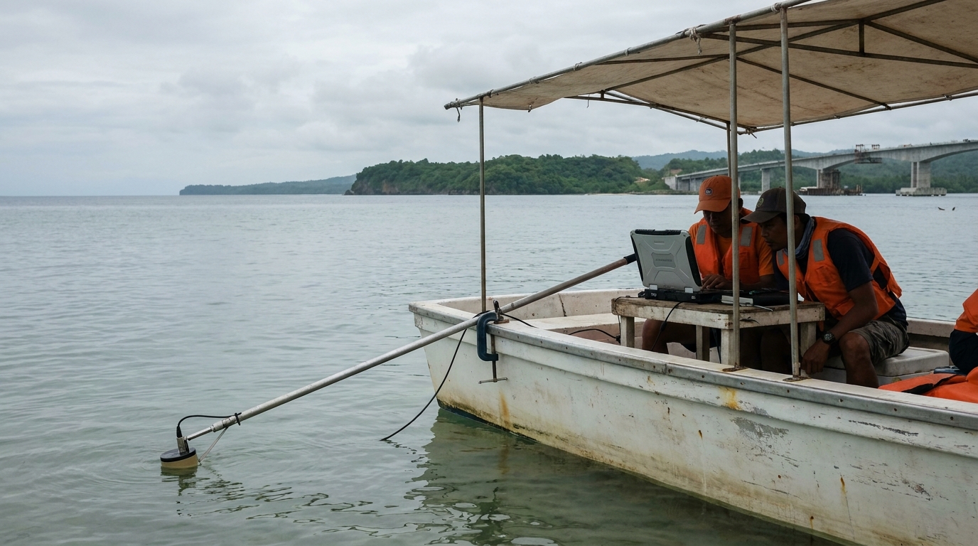
Bridge / marine02 / 03Hydrographic and bathymetric thinking for a bridge project where water, structure and position have to agree.
Hydro / volumetrics03 / 03Topo-bathy, surface models and volume logic for owners who need to understand what the landscape is holding.
Clear enough for a client. Specific enough for the crew. Defensible enough for the engineer who signs it.
Site, deliverable, deadline and decision at stake.
Instrument, datum and tolerance in writing.
Control established. Data captured. Conditions logged.
Adjustment, QA and reduction to the agreed system.
Signed plans, models and reports ready to use.
A client who needs the survey, the instrument to repeat it, the aircraft to fly it and the software to hold the data can stay inside one connected ecosystem.
The parent practice for land, engineering, construction and specialised survey.
↗Total stations, GNSS, scanners, calibration, training and after-sales support.
↗UAV platforms, payloads, pilot training and contracted aerial data capture.
↗GIS, spatial data management and the analytics layer over survey output.
↗They gave our team a method we could understand before they gave us a number. That changed the whole conversation.

The value was not only the bathymetry. It was having a clean, documented chain behind every reduction.

We bought the instrument, trained the crew and knew who to call when the field conditions changed. That continuity matters.


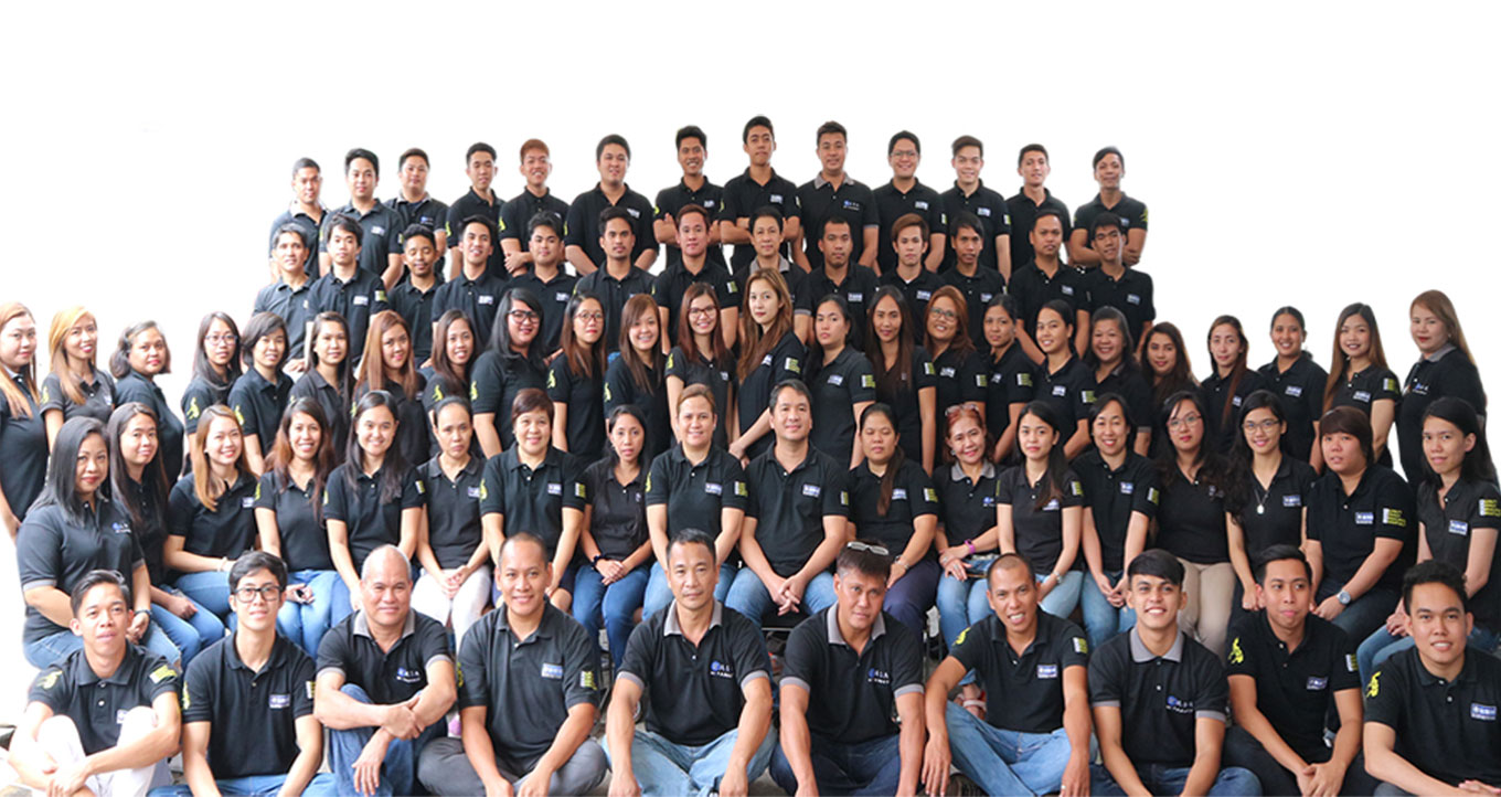
RASA is a nationwide-capable integrated surveying company founded in 1994, serving high-profile local and international engineering consultants and clients.
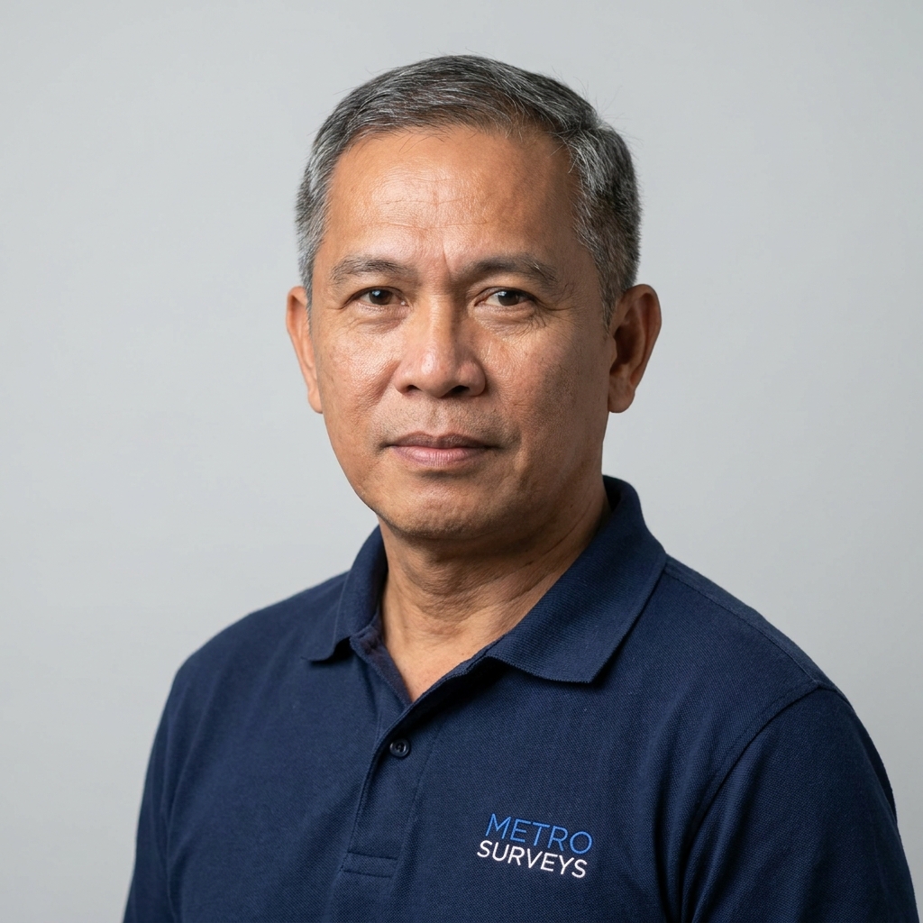
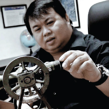
The President portrait is RASA-owned. The other portraits are clearly marked synthetic demo composites until the approved team set is available.


Good prospects should not have to decode the service menu before they know what to send you.
Start a project briefIt depends on the method. Terrestrial laser scanning can deliver millimetre-class results on structures, while GNSS RTK is centimetre-class for most site work. RASA's method statement should specify the expected tolerance before mobilisation and report the achieved figure on delivery.
RASA's public materials reference PRS92, with project-grid transformations as required. The page should make the chosen datum and transformation visible in the proposal for every job.
Yes. The company presents itself as nationwide-capable across Luzon, Visayas and Mindanao, including remote corridor, island and marine sites.
Yes. RASA Surveying Instruments supplies total stations, GNSS receivers and scanners with calibration and training, while Drone Vision Pro handles UAV platforms and payloads.
Yes. A production version of this page should make the capability statement, register of works, instrument list and principal credentials available as a clear procurement pack.
Send the location, the deliverable and the date that matters. The RASA team can help shape the method before the fieldwork begins.
Start the briefStrategic partners already present in RASA's public company story.

SupergeoHi-TargetRIEGL